Part 2: describing environments and locating places
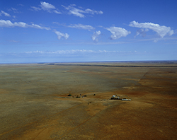
Peter Harrison/Getty Images
In Part 2, students begin to gather information from a range of sources, using a variety of geographical tools and skills.
They use photographic images to classify and develop geographical vocabulary, and maps, atlases and satellite images to develop a further understanding of space and place.